Class "SpatialGDAL"
SpatialGDAL-class.RdClass for spatial attributes that have spatial locations on a (full) regular grid on file, not (yet) actually read.
Objects from the Class
Objects can be created by calls of the form open.
SpatialGDAL(name), , where name is the name of
the GDAL file.
Slots
points:see SpatialPoints; points slot which is not actually filled with all coordinates (only with min/max)
grid:see GridTopology-class; grid parameters
grid.index:see SpatialPixels-class; this slot is of zero length for this class, as the grid is full
bbox:Object of class
"matrix"; bounding boxproj4string:Object of class
"CRS"; projectiondata:Object of class data.frame, containing attribute data
Extends
Class Spatial-class, directly.
Methods
- [
signature(x = "SpatialGDAL", i, j, ...): selects rows (i), columns (j), and bands (third argument); returns an object of class SpatialGridDataFrame-class. Only the selection is actually read.- [[
signature(i): reads band i and returns the values as a numeric vector
Arguments
- con
file name of grid map for opening, SpatialGDAL object for closing
- ...
other arguments (currently ignored)
- silent
logical; if TRUE, comment and non-fatal CPL driver errors suppressed
- dataset
object of class SpatialGDAL
- fname
file name of grid map
- driver
GDAL driver name
- strict
TRUE if the copy must be strictly equivalent, or more normally FALSE indicating that the copy may adapt as needed for the output format
- allowedDrivers
a character vector of suggested driver short names may be provided starting from GDAL 2.0
- options
driver-specific options to be passed to the GDAL driver; only available for opening datasets from GDAL 2.0
Note
Non-fatal CPL errors may be displayed for some drivers, currently for the AIG ArcInfo 9.3 binary raster driver using GDAL >= 1.6.2; the data has been read correctly, but the contents of the info directory did not meet the specifications used to reverse engineer the driver used in GDAL (see https://trac.osgeo.org/gdal/ticket/3031)
See also
SpatialGridDataFrame-class, which is actually sub-classed.
Examples
x <- open.SpatialGDAL(system.file("external/test.ag", package="sp")[1])
#> /home/rsb/lib/r_libs/sp/external/test.ag has GDAL driver AAIGrid
#> and has 115 rows and 80 columns
#> Warning: GDAL support is provided by the sf and terra packages among others
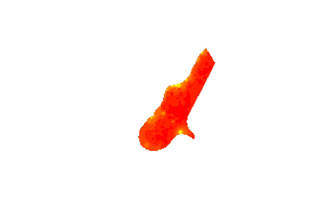
image(x[])
#> Warning: GDAL support is provided by the sf and terra packages among others
image(as(x, "SpatialGridDataFrame"))
#> Warning: GDAL support is provided by the sf and terra packages among others

summary(as(x, "SpatialGridDataFrame"))
#> Warning: GDAL support is provided by the sf and terra packages among others
#> Object of class SpatialGridDataFrame
#> Coordinates:
#>      min    max
#> x 178400 181600
#> y 329400 334000
#> Is projected: NA
#> proj4string : [NA]
#> Grid attributes:
#>   cellcentre.offset cellsize cells.dim
#> x            178420       40        80
#> y            329420       40       115
#> Data attributes:
#>      band1
#>  Min.   : 128.4
#>  1st Qu.: 293.2
#>  Median : 371.4
#>  Mean   : 423.2
#>  3rd Qu.: 499.8
#>  Max.   :1805.8
#>  NA's   :6097
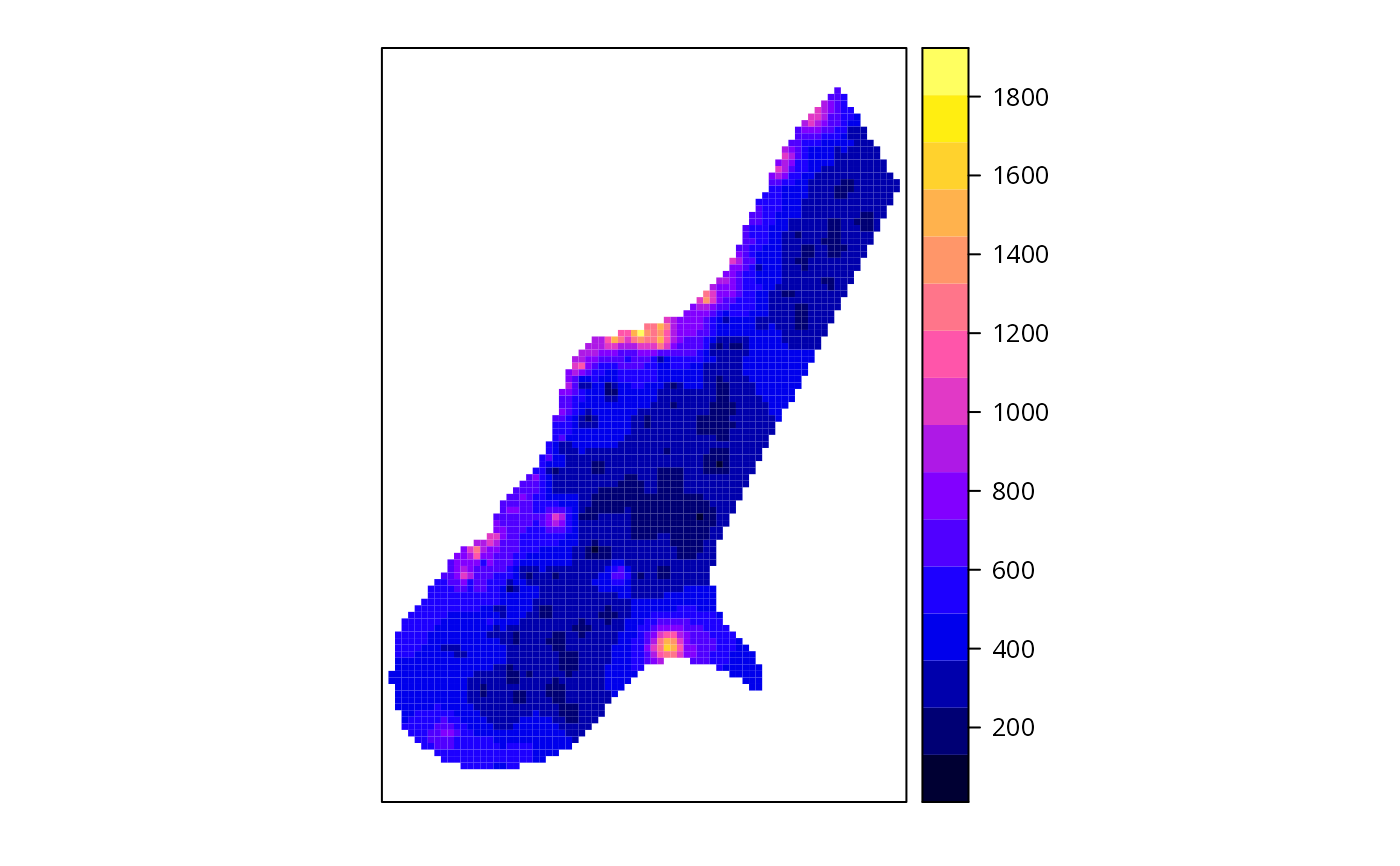
spplot(as(x, "SpatialGridDataFrame"))
#> Warning: GDAL support is provided by the sf and terra packages among others

# select first 50 rows:
summary(x[1:50])
#> Warning: GDAL support is provided by the sf and terra packages among others
#> Object of class SpatialGridDataFrame
#> Coordinates:
#>      min    max
#> x 178400 181600
#> y 332000 334000
#> Is projected: NA
#> proj4string : [NA]
#> Grid attributes:
#>   cellcentre.offset cellsize cells.dim
#> x            178420       40        80
#> y            332020       40        50
#> Data attributes:
#>      band1
#>  Min.   : 186.9
#>  1st Qu.: 307.2
#>  Median : 393.5
#>  Mean   : 482.4
#>  3rd Qu.: 601.3
#>  Max.   :1805.8
#>  NA's   :3113
# select first 50 columns:
summary(x[,1:50])
#> Warning: GDAL support is provided by the sf and terra packages among others
#> Object of class SpatialGridDataFrame
#> Coordinates:
#>      min    max
#> x 178400 180400
#> y 329400 334000
#> Is projected: NA
#> proj4string : [NA]
#> Grid attributes:
#>   cellcentre.offset cellsize cells.dim
#> x            178420       40        50
#> y            329420       40       115
#> Data attributes:
#>      band1
#>  Min.   : 130.3
#>  1st Qu.: 295.1
#>  Median : 385.7
#>  Mean   : 437.4
#>  3rd Qu.: 520.0
#>  Max.   :1805.8
#>  NA's   :3629
# select band 1:
summary(x[,,1])
#> Warning: GDAL support is provided by the sf and terra packages among others
#> Object of class SpatialGridDataFrame
#> Coordinates:
#>      min    max
#> x 178400 181600
#> y 329400 334000
#> Is projected: NA
#> proj4string : [NA]
#> Grid attributes:
#>   cellcentre.offset cellsize cells.dim
#> x            178420       40        80
#> y            329420       40       115
#> Data attributes:
#>      band1
#>  Min.   : 128.4
#>  1st Qu.: 293.2
#>  Median : 371.4
#>  Mean   : 423.2
#>  3rd Qu.: 499.8
#>  Max.   :1805.8
#>  NA's   :6097
# select first 50 rows, first 50 columns, band 1:
summary(x[1:50,1:50,1])
#> Warning: GDAL support is provided by the sf and terra packages among others
#> Object of class SpatialGridDataFrame
#> Coordinates:
#>      min    max
#> x 178400 180400
#> y 332000 334000
#> Is projected: NA
#> proj4string : [NA]
#> Grid attributes:
#>   cellcentre.offset cellsize cells.dim
#> x            178420       40        50
#> y            332020       40        50
#> Data attributes:
#>      band1
#>  Min.   : 275.0
#>  1st Qu.: 590.4
#>  Median : 740.5
#>  Mean   : 797.6
#>  3rd Qu.: 928.9
#>  Max.   :1805.8
#>  NA's   :2338
# get values of first band:
summary(x[[1]])
#> Warning: GDAL support is provided by the sf and terra packages among others
#>    Min. 1st Qu.  Median    Mean 3rd Qu.    Max.    NA's
#>   128.4   293.2   371.4   423.2   499.8  1805.8    6097
close(x)